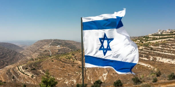
The Israeli Trail Project
A National Online Platform for Planning and Exploring Non-Motorized, Nature-Based Activity in Israel
“A land is called free when its people freely walk its paths.”
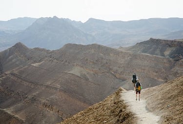
Connecting Trails Bonding with the Land Touching the People
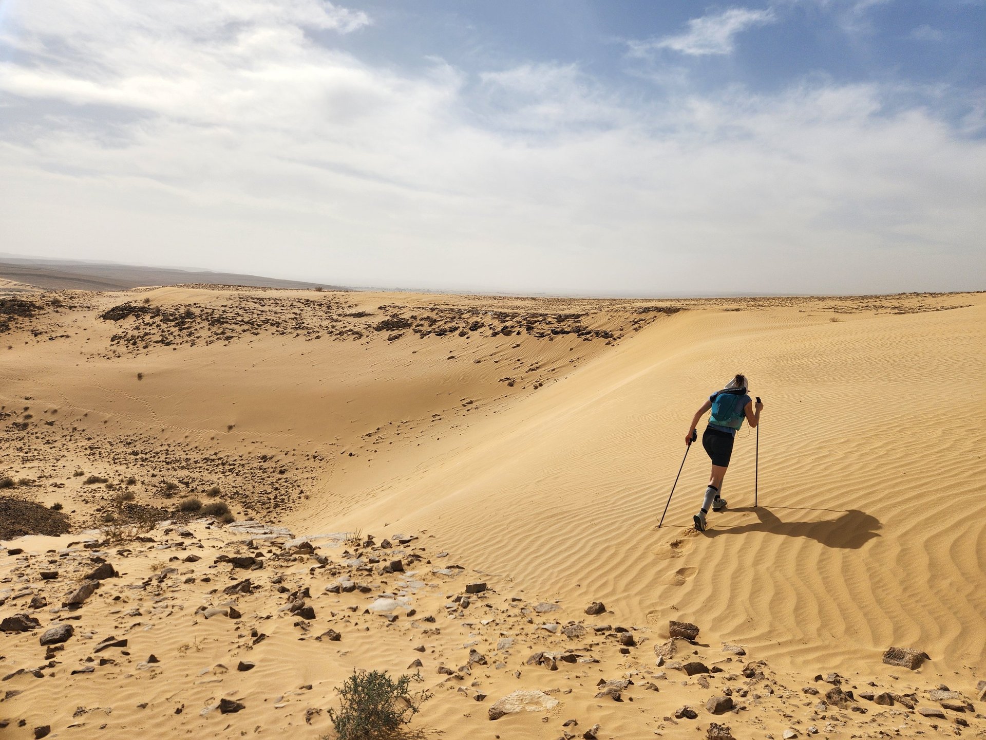
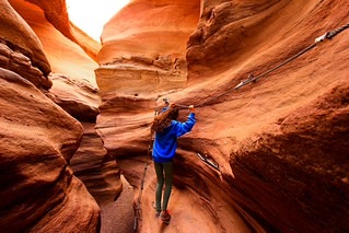
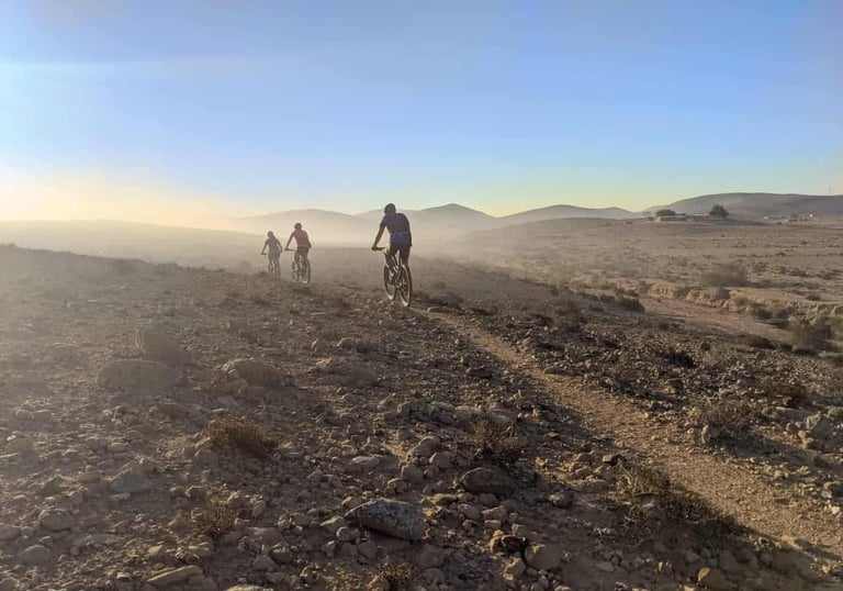
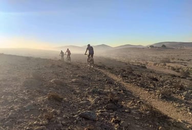
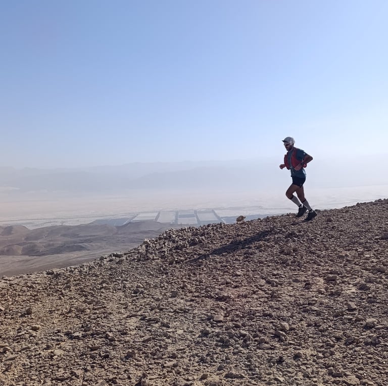
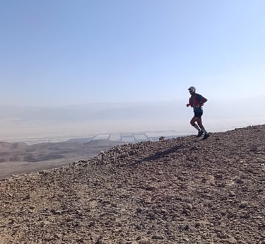
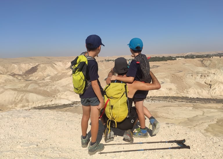
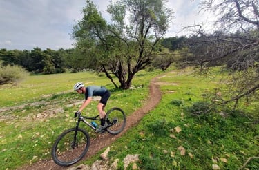
The Israeli Trail Project is a public-interest initiative designed to establish a digital platform that brings together Israel’s non-motorized trails, enabling independent exploration through walking, hiking, trekking, gravel biking and mountain biking.
700+
7+
contributing local trail experts
mapped routes to-date

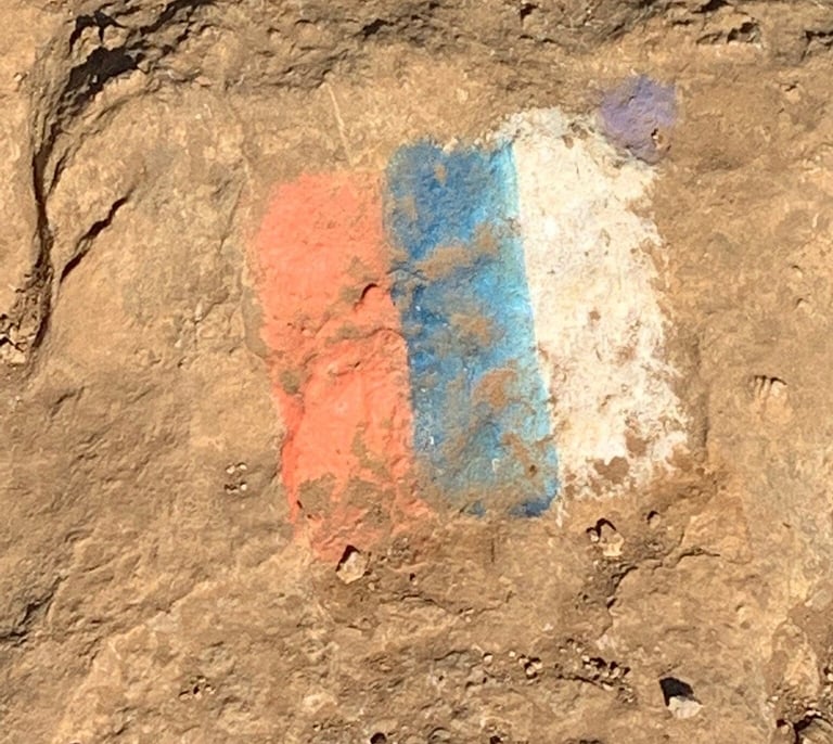
Fragmented and Incomplete Information
Information about Israel’s trails is scattered across dozens of bodies: park authorities, municipalities, forums, blogs, and sport clubs— and is often outdated, Hebrew-only, incomplete, or unreliable. Many locations and routes remain undocumented or inaccessible.
No Unified Planning Standard
Hiking and biking trails exist and are marked, but there is no single standard for presenting information: difficulty ratings and suitability according to ability, seasons, weather sensitivity, or hazards. Even when a route exists, there is often no way to compare it to alternatives. These barriers reduce people’s confidence to explore trails independently.
Today, independent outdoor travel across Israel still depends on prior knowledge and experience. Route information is largely static and rarely reflects local, route-specific or regional conditions—such as weather, natural hazards, access changes, or security awareness.

Static Data
Why Israel Needs This
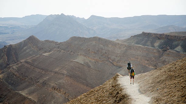
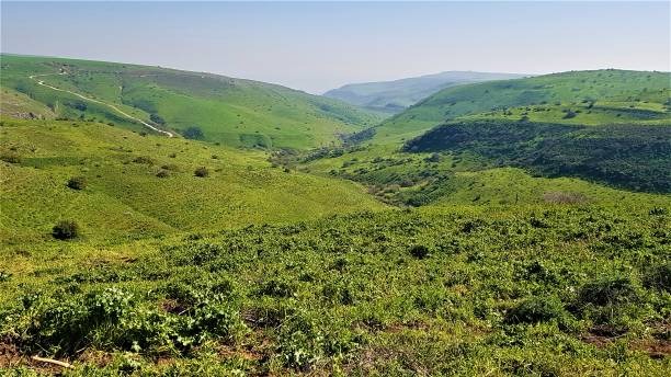
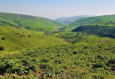
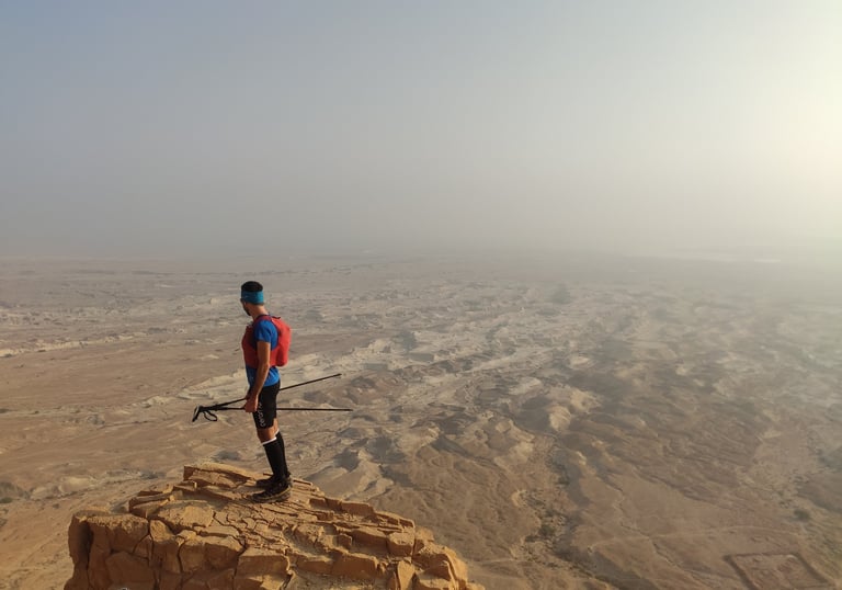
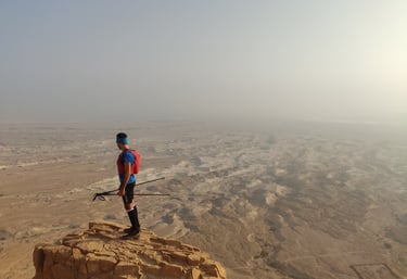
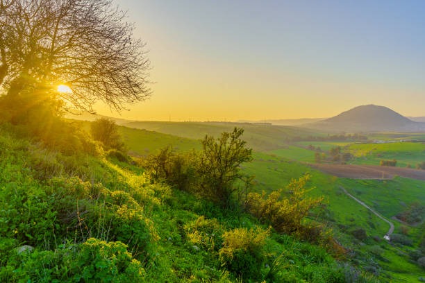
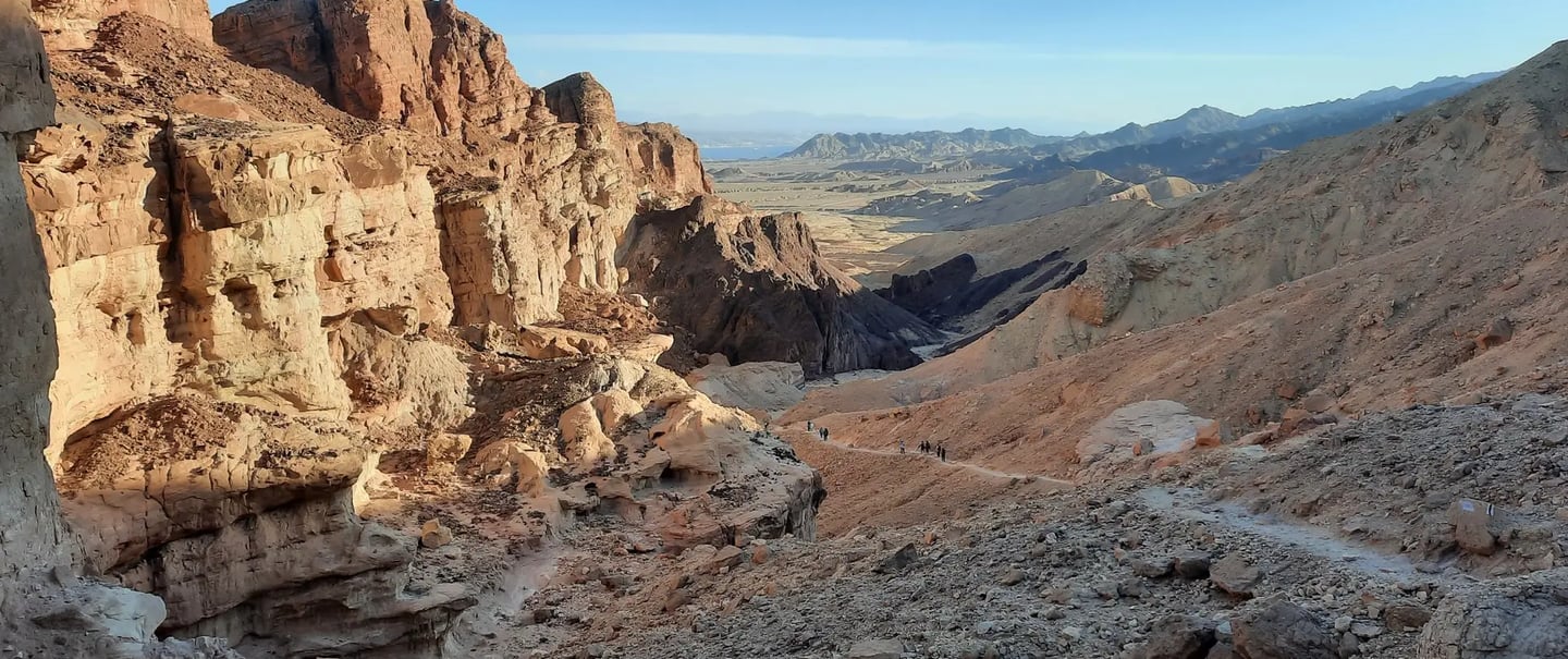
From the Judean Desert, through the Jordan Valley, to the Galilee and the water sources in the north — Israel offers an exceptional diversity of landscapes and cultures across a relatively small geographical area. As such, Israel has the potential to offer unique, diverse, and world-class opportunities for outdoor activities. Yet, information about trails is fragmented, outdated, or inaccessible, making the ability to plan and execute independent trips across large areas difficult.
As a result, Israel’s natural and scenic assets is underutilized. The potential to promote personal and public health, connect people to the land, support sport tourism, and strengthen peripheral regions remains largely unrealized.
The Missed Opportunity
Israel has rich trails. Israel has the demand; it lacks the digital infrastructure to turn these assets into connected journeys and measurable economic impact.
High Volume, Low Connectivity
Over 9.8 million visits were recorded at Israel Nature and Parks Authority sites in a single year, the majority by Israelis.
A Shift Toward Independent Travel
Around 70% of inbound tourists to Israel prefer flexible, active, self-planned experiences, that lead to a deep engagement with landscapes.
Sport- and nature-based tourism accounts for an estimated 10–15% of global tourism spending and is among the fastest-growing segments worldwide. Israel’s diverse landscapes are exceptionally well suited to capture this demand.
Untapped Growth in Sport-Based Tourism
Studies from Switzerland and New Zealand shows that national trail systems with a unified digital information layer not only attract more sport- and outdoor-based tourism, but also extend the average length of visits by approximately 30–50%. This, in turn, increases daily spending, spread overnight stays and visitor expenditure beyond major tourist hubs (supporting peripheral regions), and generates high repeat-visit rates over time.
Israel also has a clear seasonal advantage: a mild winter that is well suited to outdoor activity, precisely when European and North American winters limit outdoor sport-based tourism. This potential remains largely unrealized today due to the absence of a national digital trail system.
120M
$176 / day
Average spend per trail user
Annual outdoor adventure travelers
International Metrics from Trail-Based Tourism
What We’re Building
The Israeli Trails Project unifies non-motorized outdoor activities into a single national platform designed for practical use in the field. Users can select from an existing route network, create custom routes, and navigate in real time, with AI-driven tools that reflect individual abilities, preferences, and changing conditions such as weather or hazards.
This is not a social app or a lifestyle platform. It is a national digital infrastructure that enables independent, non-motorized movement and exploration in Israel's nature.
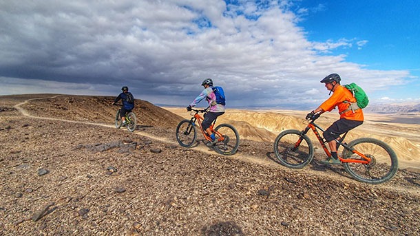
Multi-Sport
Built from the ground up to support walking, hiking, trail running, trekking, gravel and mountain biking, with routes and metadata adapted to the needs, pace, and risk profile of each activity.
Clear & Comparable Meta Tags
One national, multi-language digital platform for planning and navigating non-motorized routes across Israel—replacing fragmented maps, PDFs, forums, and local knowledge silos with a single source of truth
Current & Trusted Data
Routes are designed with local experts and continuously updated with live inputs such as weather, closures, and hazards—reflecting real conditions, not static guidebooks.
Consistent grading across all routes, covering difficulty, distance, elevation, time, and best season—making it easy to compare routes across regions and plan multi-day journeys with confidence.
Built for Planning and Real-Time Use
Supports detailed trip planning on desktop and turn-by-turn navigation on mobile, with integrated 3D mapping—while enabling route sharing, group planning, and coordination around shared activities.
Single-Stop
AI
AI capabilities allow the system to interact with the user and suggest or plan routes on their behalf, by intelligently connecting personal preferences, terrain conditions, and safety considerations.
Based on Proven Models
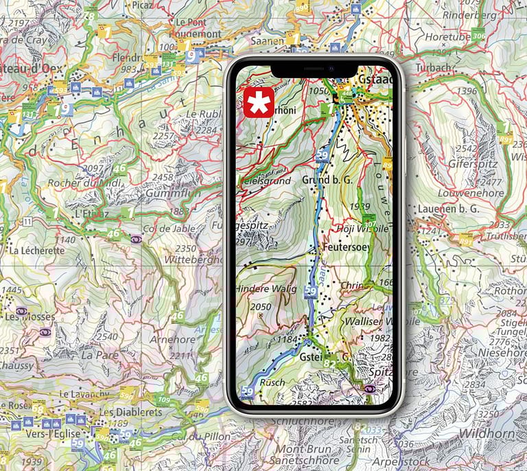
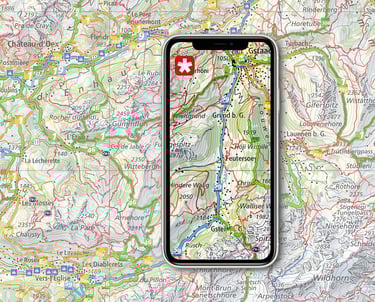
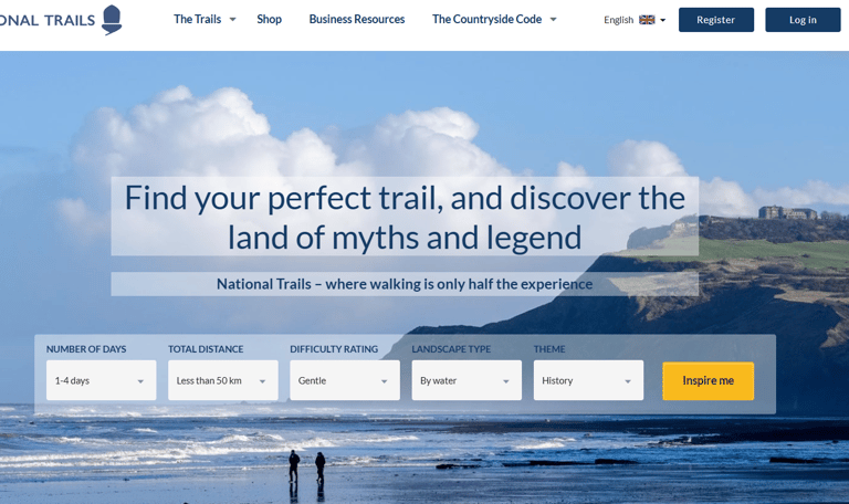
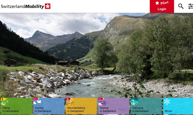
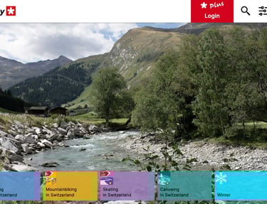
SwitzerlandMobility is a national system that organizes hiking, cycling, and mountain routes into one clear, trusted network. It demonstrates how non-motorized travel can operate as a unified system—supported by consistent standards, reliable information, and simple tools—enabling people to plan safely, travel independently, and undertake longer, multi-day journeys.
Similarly, the UK’s National Trails service provides a single national framework for long-distance trails, combining authoritative route data, practical planning information, and on-the-ground coordination. It shows how a nationally organized trail system can support independent travel while strengthening regional identity, stewardship, and local economies.
The Israeli Trails Project is inspired by these proven approaches and adapts them to Israel’s landscape, scale, and conditions—with the goal of supporting independent travel, connecting regions, and strengthening local communities through a coherent national trail system.
Impact Across Israel
Non-motorized movement through nature strengthens personal wellbeing, deepens connection to place, and supports resilient communities across Israel.

Belonging & Connection
Moving through the land by foot or bicycle fosters deep attachment to places. Research shows that outdoor sports strengthens identity and a sense of rootedness.

Health & Resilience
Regular movement in nature supports physical and mental health across ages and communities, serving as a low-cost, high-impact public health resource.
Strengthening the Periphery
Connected trail journeys encourage longer stays, slower travel, and local spending in the Galilee, Negev, Golan, Arava, and Judean Desert—supporting small communities and regional resilience.
Independent Sport-Based Tourism
Non-motorized, sport-based movement allows both local and non-local visitors to experience Israel independently and meaningfully, beyond guided tours or isolated attractions. Clear, accessible trail information enables confident self-planning, longer stays, and deeper engagement with landscapes, communities, and regions.
Call to Action
The Israeli Trails Project is a non-profit initiative with significant national potential, working for the benefit of Israel, its people, its landscapes, and its future.
The project is currently in the development and build phase. The initial infrastructure is already underway, and the system is being shaped. At this stage, we are opening the project to partners and relevant stakeholders: public authorities, IT companies, non-profit organizations, field content creators, and organizations interested in taking part in shaping the information layer and tools that will support trail use in Israel in the coming years.
If you are active in planning, mapping, sports, education, tourism, or community work, we would be glad to connect, share the direction, and move forward together.

Get in touch

Connect
Join us on trails across Israel
Contact
Subscribe
© 2024. All rights reserved.